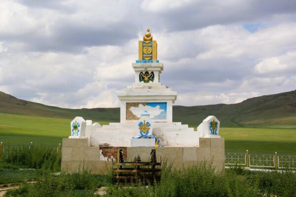
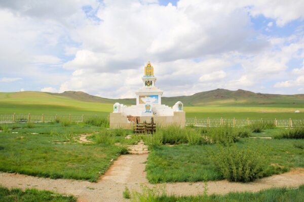
The central point of Mongolia was first identified in 1979 by Dr. Sh. Shagdar, a Doctor of Geographical Sciences, Professor, and Teacher. The following methods were utilized to determine its location:
- Geographical Intersection Method
- Equiangular Method
- Quadrature Method
- Circle Method
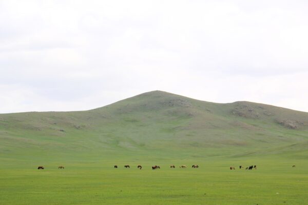
The coordinates of Mongolia’s central point are at 460511 degrees north latitude and 1030501 degrees east longitude, with an altitude of 1,690 meters above sea level. It was established that the Central Point of Mongolia is located at the foot of Sant Mountain. It is positioned 690 kilometers from the northernmost point, 600 kilometers from the southernmost point, 5,193 kilometers north of the equator, and 4,807 kilometers from the North Pole. Additionally, it is 7,922.5 kilometers east of the prime meridian, 255 kilometers from Ulaanbaatar city, 115 kilometers from Arvaikheer, and 11.5 kilometers from the center of Burd Soum.
In 1994, the Stupa was constructed by “Yalalt” LLC, following an initiative by T. Bazarsuren, the President of the “Gal Golomt” Foundation.


